Guiding Users With Interactive Maps
Overview:
Throughout my time at Mappedin, I contributed to mapping solutions by interpreting complex architectural plans into easy-to-understand maps. These maps help users navigate from point A to B, making their experience seamless. I was then in charge of a major business partner client to manage and continuously update their portfolio.
Impact:
1. Improved respond time to major business partner questions/requests within an hour
2. Able to prioritize urgent requests to completion within 1 working day
3. Established better customer expectations and forecast with the business partner
Context:
Numerous projects I’ve received were mapping mall type projects. The architectural plans may be complex sometimes but there are multiple external resources I use to combat this. One of the important things to get right is the scale of the mall. The best resource for this is looking at satellite imagery and using the scales there to match. After that, I would start digitizing the map and create geometry in Adobe Illustrator to each type of unique spaces like stores or amenities. Depending on the client’s specs, custom geometry could be created for landmarks or outdoor details.
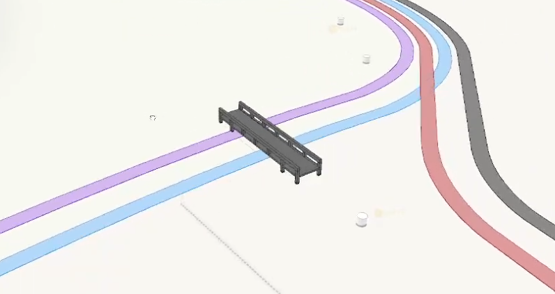
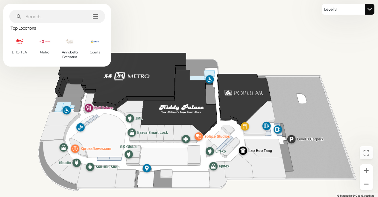
Once the digitized map is finished, it is imported into our own content management system. This is where I design the navigation, locations and 3D views of the map. Navigation paths are created to guide the user throughout the mall and extra one way paths can be added to escalators to guide the users correctly between floors. In the 3D view, color and geometry height are used to distinguish between the different types of spaces. Major retailers will have the logos attached to them and often a bolder color to make them visually distinct.
Obstacles:
Sometimes due to the quality or complexity of the architectural plans from the client, there may be areas that are interpreted wrong so the client will come back and ask for edits. We prioritize these edits to be done as soon as possible to ensure the deployment doesn’t get delayed. This might cause me to stop what I was working on to jump on to fix said edit.
Solution:
To mitigate the errors, our team did develop a checklist to go through for peer review quality assurance that helped with checking and catching errors. I also became better at asking clarification questions about the files we get from our customer managers to make sure what I was doing was within the client’s project scope.
Reflection:
The main focus of the majority of maps I’ve made was simplicity and ease of navigation for the sake of consistency. However, when there are maps that are more unique and can appreciate the extra small edits, I love it as a challenge and can design creatively to solve it. It could be as simple as adding more colors or creating custom 3D geometry that represents a landmark of sorts.